Delivering space insights for
EARTH'S Sustainability
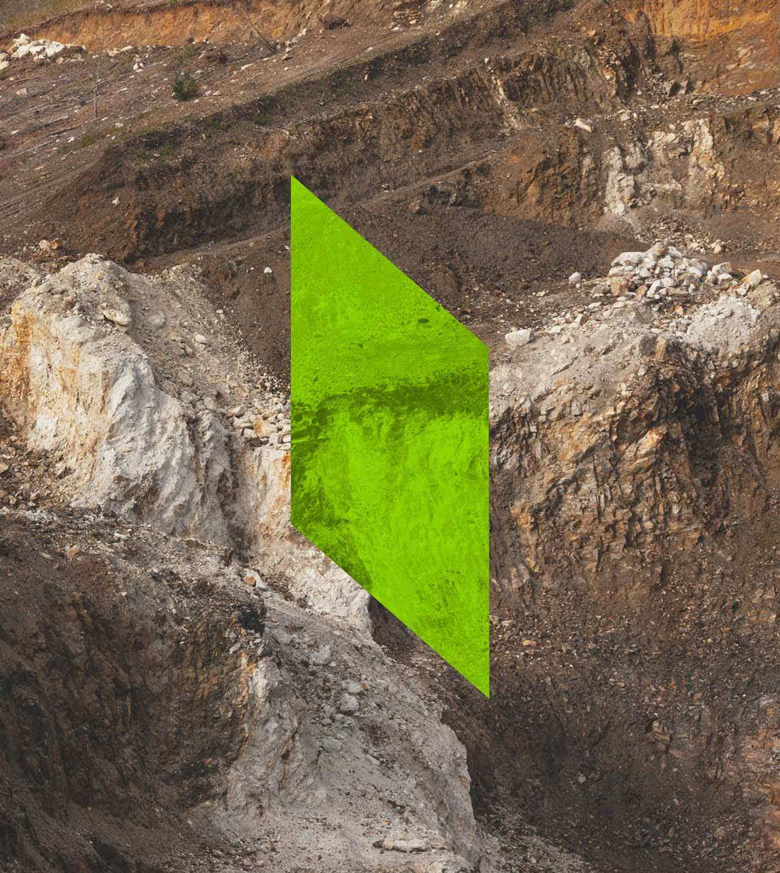
About US
Beholder revolutionizes mineral exploration and mineral rights through seamless integration of remote sensing satellites, geophysics, and AI-powered algorithms.
Our mission is to empower landowners, governments, exploration companies, and investors by unlocking the hidden mineral wealth beneath the Earth's surface with unprecedented accuracy, efficiency, and sustainability.
Using a holistic, tech-driven approach, Beholder transforms traditional mineral exploration into a streamlined digital experience—delivering powerful insights, reducing risk, and enabling smarter decisions about land and resources.
What We Do?
We harness the power of current and upcoming Earth observation satellites—such as the Copernicus Sentinel missions, Landsat, and SMAP—to generate vast volumes of data on soil composition, moisture, vegetation, mineral signatures, and climate indicators.
By leveraging cutting-edge AI and deep learning models, we convert this data into actionable intelligence for mineral exploration. Our vision is to become the leading provider of space-to-Earth insights for a sustainable future.
Unlocking the full potential of this growing wealth of satellite data demands innovative technologies and scalable strategies. Beholder is at the forefront, developing solutions that can process, analyze, and translate these massive datasets into meaningful, decision-ready outputs.
Learn OUR Story
2022
Vision
Ignited
2023
Formation and
First Proof-of-Concept
2024
Early Validation and
Strategic Expansion
2025
Global Reach and
Moonshot Projects
Our Partners
Meet OUR Team


Get in TOUCH
Contact Information
Your email address is safe with us. Required fields are noted with *
Get In Touch
Let us know how we could help.
Email Address:
team@beholder.earth
Address
PAE TN 25-47, LASNAMÄE LINNAOSA, 11414 TALLINN, HARJU MAAKOND