Explore Our SERVICES
01 -
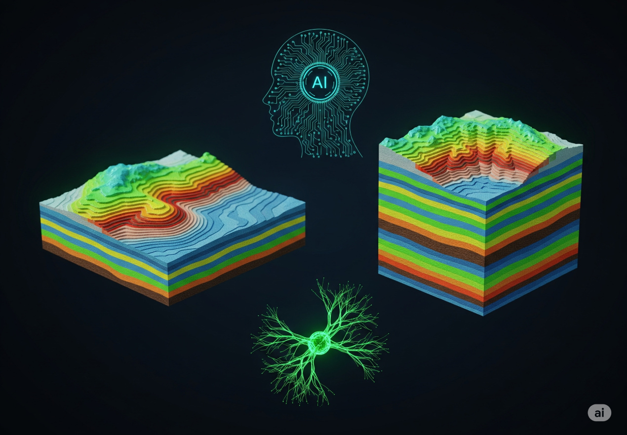
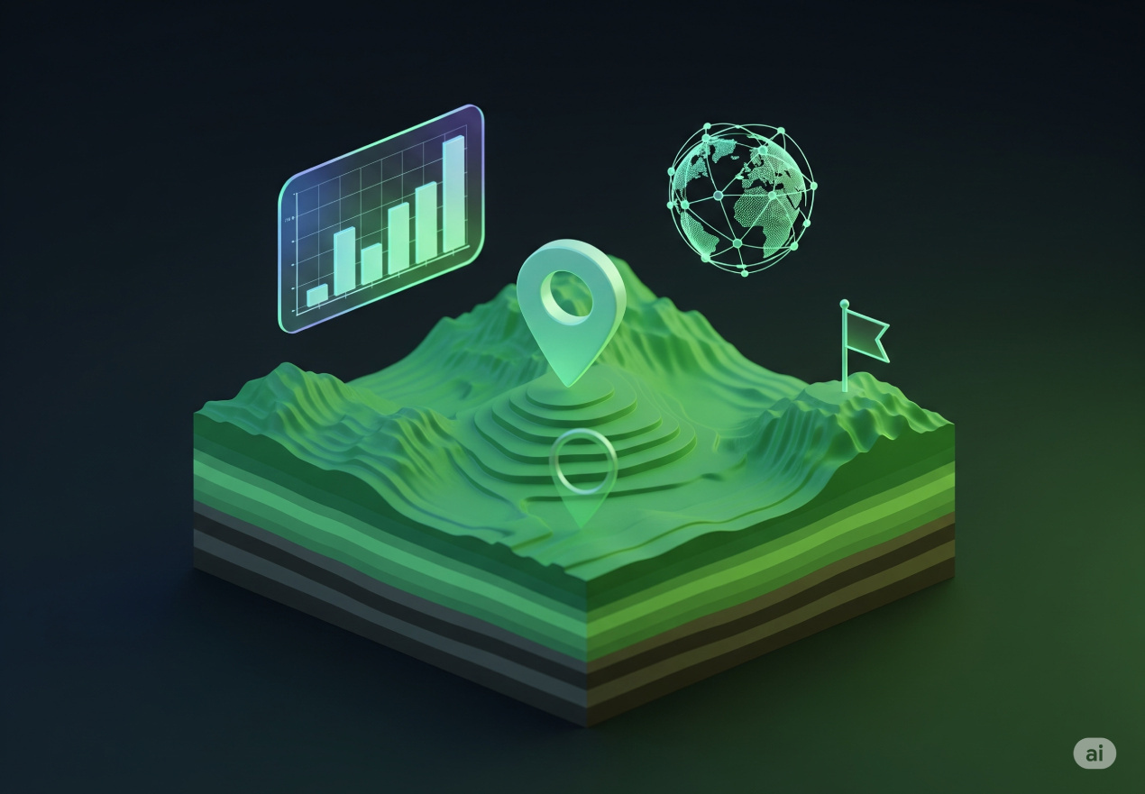
AI-Driven Geological 2D and 3D modeling For mineral and geothermal energy exploration
Beholder’s proprietary AI algorithms analyze vast amounts of geological, geophysical, and satellite data to identify patterns, anomalies, and potential mineral-rich zones. Our system continuously learns and improves, providing accurate and actionable insights for stakeholders.
02 -
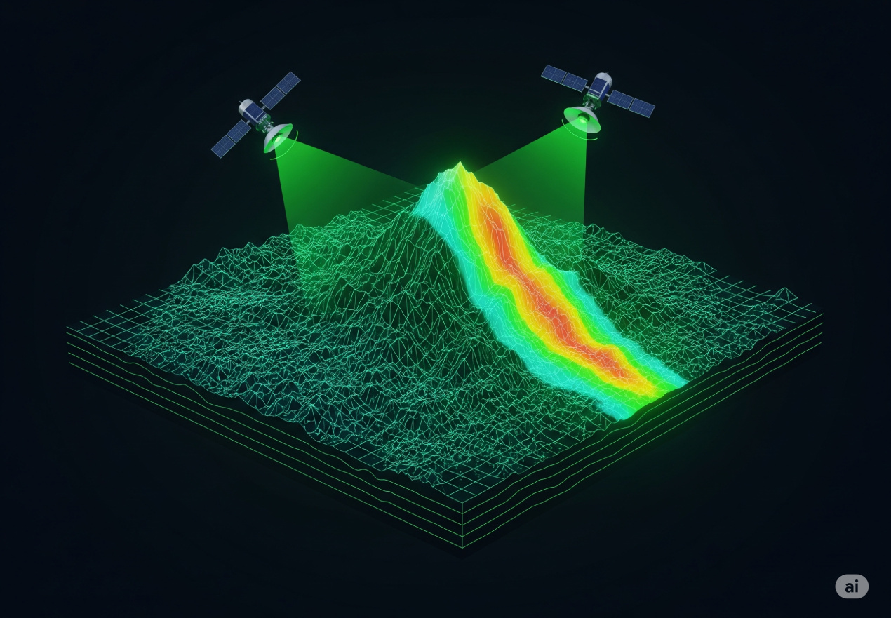
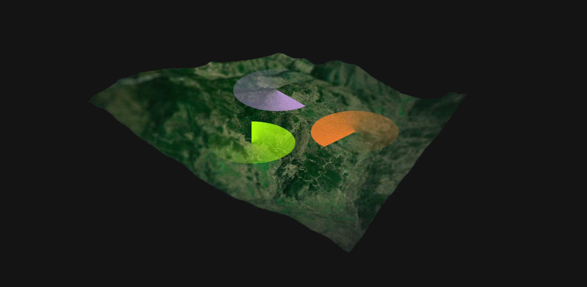
Sweet Spot Analysis And Drill Targeting
By integrating geological, geophysical, and geochemical datasets, Beholder identifies high-probability zones—“sweet spots”—that optimize drill placement, reduce risk, and improve exploration efficiency.
03 -
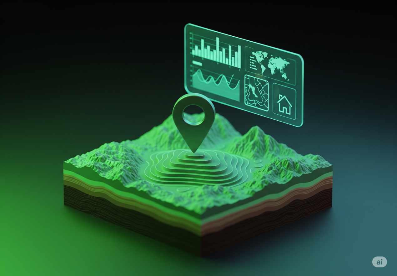
Exploration Reports For Landowners
We provide clear, visual, and personalized mineral reports outlining the resource potential of your land. Our insights guide landowners on leasing, development, or partnership decisions.
04 -
Portfolio Validation For Investors
Beholder helps validate early-stage exploration projects, significantly reducing risk for investors and financial institutions. Our analysis supports smarter, faster investment decisions in the natural resources sector.
05 -
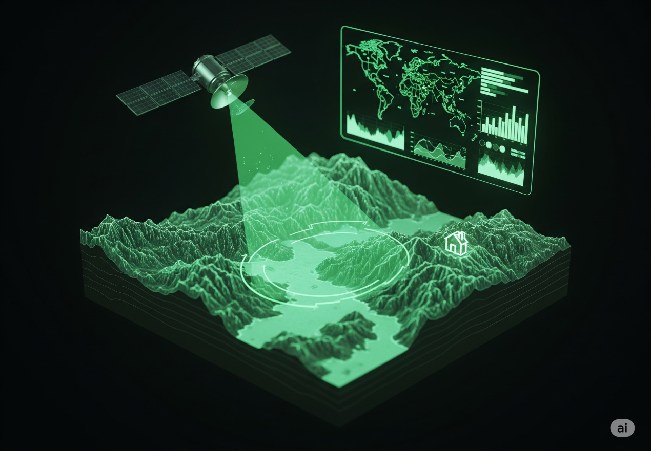
Resource Mapping For Governments
National and regional institutions can use Beholder to digitally map and assess natural resources, helping form strong strategies before investing in large-scale surveys or field expeditions.
To scale your geological work Explore our products
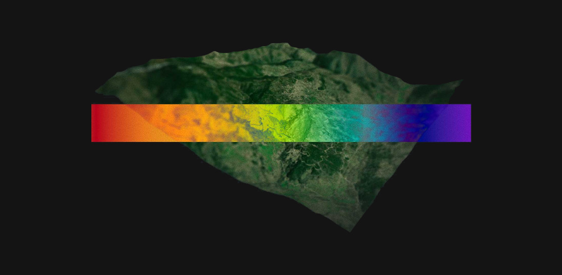
Prospective Mapping AI
AI-powered analysis helps identify zones with high exploration potential by learning from vast geological datasets and historical outcomes.
Fusion and Integration
Combining satellite imagery, geophysics, and drilling data enables a unified view that improves interpretation and decision-making accuracy.
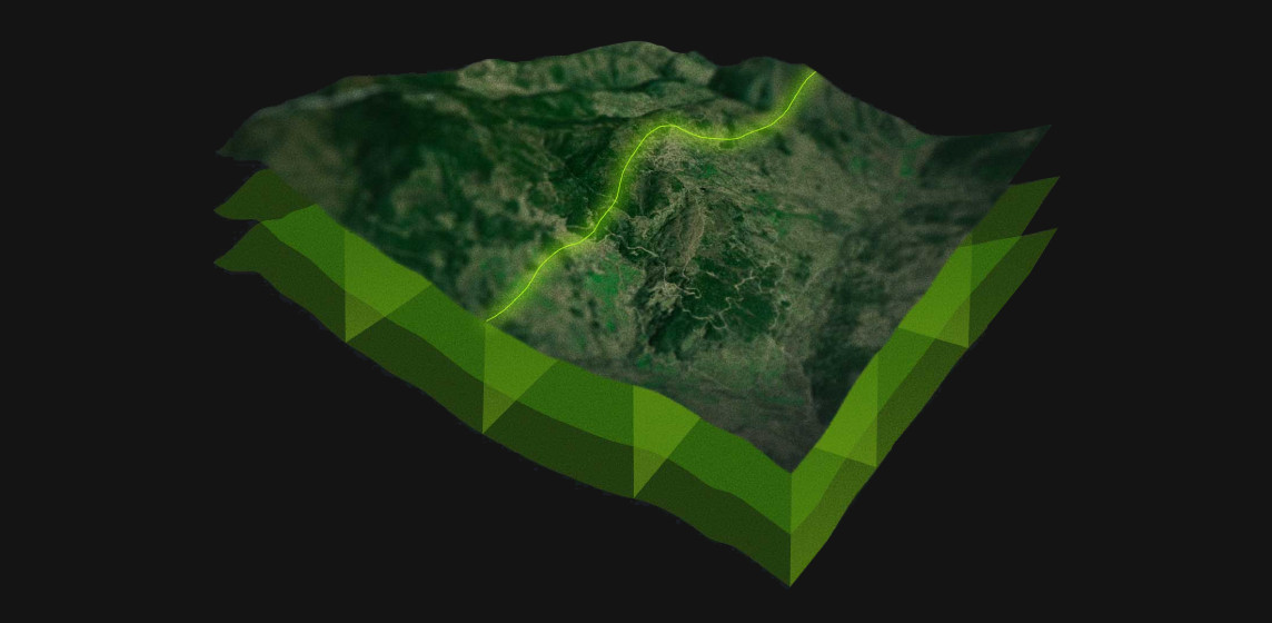
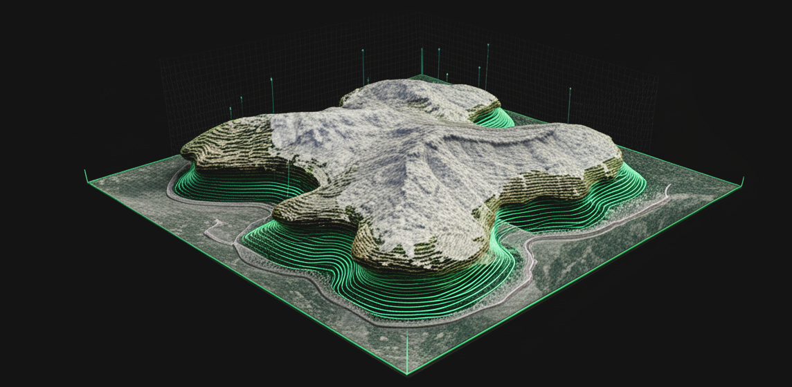
3D Geological Modeling
Interactive 3D subsurface models provide a detailed view of structures, faults, and formations, enhancing planning and targeting precision.
Environmental Modeling
Simulation tools help predict and assess environmental impact, enabling sustainable resource development with minimal ecological disruption.
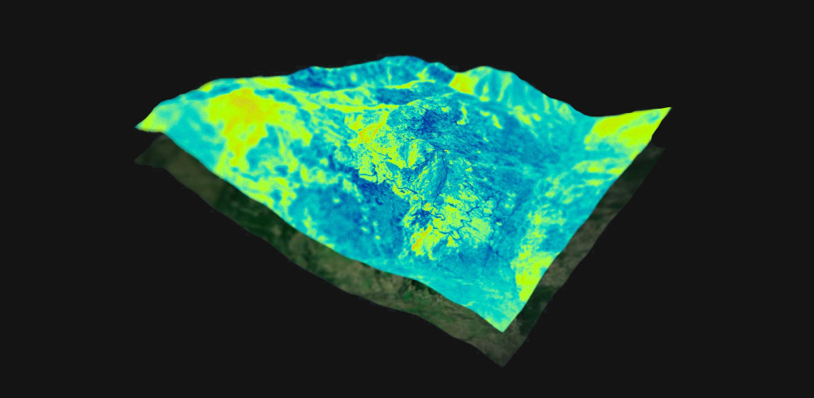
Mapping and Maps
Dynamic, high-resolution maps built on the latest data empower users to visualize, explore, and act on complex geological information.
Beholder merges cutting-edge science with practical tools to power the next generation of exploration

Get in TOUCH
Contact Information
Your email address is safe with us. Required fields are noted with *
Get In Touch
Let us know how we could help.
Email Address:
team@beholder.earth
Address
PAE TN 25-47, LASNAMÄE LINNAOSA, 11414 TALLINN, HARJU MAAKOND